A useful starting point
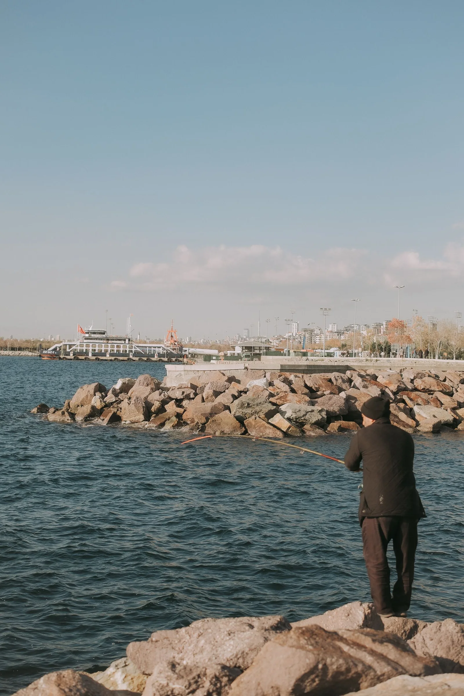
Use current official access information and signs at the actual location. A view may be reachable only through restricted or hazardous ground. Do not bypass a barrier or create a route for a better fishing position. If the access arrangements are unclear, choose another permitted activity or postpone.
Try this sequence
- Check current access information at home
- Read signs again on arrival
- Stay within established permitted routes
- Leave when a safe lawful option is unclear
A small worked example
A photograph of a coastline can be useful for visual orientation while omitting a closed entrance. Treat the current access source and on-site signs as separate information. If the permitted route cannot be confirmed, the scenic view does not justify continuing.
What to keep in your notes
Keep your first version of the plan beside the revised one. For this task, the useful question is simple: did “leave when a safe lawful option is unclear” leave you with a clearer next step? Record the answer without turning it into a prediction of conditions or results.