A useful starting point
Tide information is one input to a coastal plan. Keep the relevant official or authoritative source, location and time with your note. Do not infer that a particular level makes a shoreline safe or accessible. Weather, waves, local terrain and changing conditions need separate attention and may require postponing an outing.
Try this sequence
- Use information for the actual relevant location
- Record the source and issue time
- Keep the tide note separate from access checks
- Follow current local and official guidance
A small worked example
A tide record without a location or issue time is difficult to use responsibly. Add those details from the relevant source, then keep the access and warning checks separate. One item of information should not silently stand in for an overall judgement of conditions.
What to keep in your notes
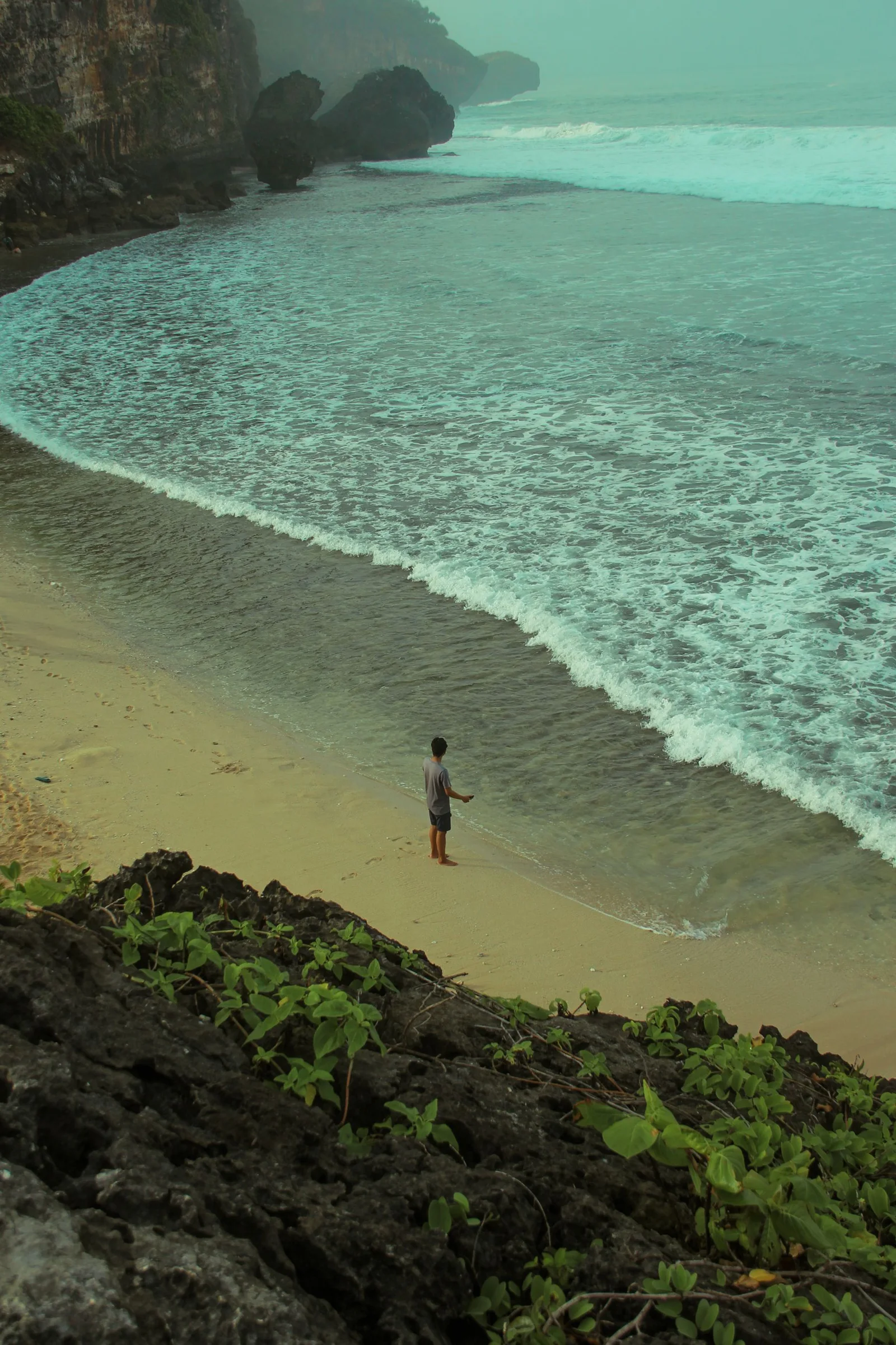
Photographs can help recall the task but may omit the route, conditions or equipment labels. Pair an image with the specific note it supports. Keep irrelevant assumptions out of the caption, and do not treat an attractive frame as confirmation that a place or method is suitable.